National Weather Service (NWS) meteorologists are warning people in several major cities of heavy snow and “difficult” travel as a winter storm treks across the Great Lakes region.
Why It Matters
Heavy snow is expected to hit Milwaukee, Wisconsin; Chicago, Illinois; Grand Rapids, Michigan; and Detroit, Michigan; in time for evening rush hour on Wednesday as a winter storm moves across the region.
Winter storm warnings are already in place advising people of difficult travel conditions.

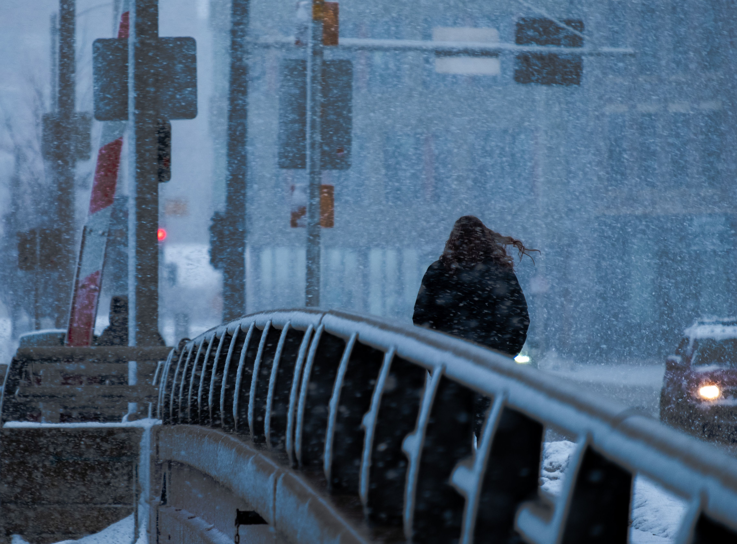
Wirestock/Getty
What To Know
Much of the central and eastern U.S. is under either a winter storm warning or a winter weather advisory as heavy snow and significant ice impacts the region.
The winter weather is particularly affecting several major cities, prompting NWS meteorologists to issue warnings for people traveling in those areas.
Milwaukee Snow Forecast
The Milwaukee forecast region is expecting up to 9 inches of snow, according to a winter storm warning. The warning is in place until 3 a.m. Thursday. The local NWS office warned that hazardous travel conditions were possible, especially during the Wednesday evening commute.
Chicago Snow Forecast
In Chicago, a winter weather advisory is in effect until 3 a.m. local time on Thursday. Up to 6 inches of snow is expected, and the snowfall rates could be “possibly heavy at times.” Snow also could mix with freezing rain by Wednesday evening, with total ice accumulations expected to be less than one-tenth of an inch.
Grand Rapids Snow Forecast
A winter weather advisory, which is less severe than a winter storm warning, is in place for Grand Rapids until 7 a.m. Thursday. Up to 6 inches of snow could fall, and travel could be “very difficult,” especially during the Wednesday evening and Thursday morning commutes.
Detroit Snow Forecast
The winter storm warning for the Detroit area will go into effect at 1 p.m. local time on Wednesday. Between 6 and 8 inches of snow is expected.
NWS meteorologists at the Detroit office warned that peak snowfall rates, in which snow is falling at more than a half-inch per hour, are expected from late afternoon until the evening hours on Wednesday. Snowfall rates could exceed 1 inch per hour in the late evening hours, the warning said.
The warning is set to expire at 7 a.m. Thursday.
What People Are Saying
NWS meteorologist Andrew Quigley, who works at the NWS office in Milwaukee/Sullivan, told Newsweek: “In southern Wisconsin, we started to see snow begin here this morning pretty much everywhere across our area. The snow is occasionally moderate to even heavy in a few local spots. We expect snow to continue rest of the afternoon and evening. Snowfall rates will lighten a touch in the mid- to late-afternoon, and we are monitoring for another ramp up in snowfall intensity as get into this evening.
“The highest totals will be over southeast Wisconsin, which includes the Milwaukee metro area.”
NWS in a forecast on Wednesday: “Heavier snow rates should develop in time for the evening rush hour in Milwaukee, Chicago, Grand Rapids, and Detroit, among other locations. Plan ahead if you are commuting. Further, a wintry mix of snow, sleet, and freezing rain on the south side of the main snow band will lead to hazardous travel conditions elsewhere in the Midwest and Northeast.”
What Happens Next
Most winter storm warnings and winter weather advisories are expiring by Thursday. Looking forward, below-average temperatures and below-normal precipitation are expected for the region between February 17 and 21, according to the NWS Climate Prediction Center.