Two powerful weather systems are due to combine forces this week, when an atmospheric river and a bomb cyclone meet to whip up a fierce winter storm in the northwest.
An atmospheric river is a relatively long, narrow strip of water vapor, that effectively forms “rivers in the sky,” as described by the National Oceanic and Atmospheric Administration. While a bomb cyclone refers to a rapid drop in pressure that strengthens a storm.
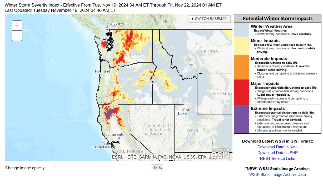
The two systems will combine to create a miserable week for residents in the northwest. A swathe of the country is due to be affected, from northern California to Oregon to Washington. Damaging winds and inches of rain will batter some areas, while others on higher ground will be hit by feet of snow. The National Weather Service (NWS) has warned that flash floods and power outages are likely in worst-hit areas when the storm reaches maximum intensity on Wednesday. Meanwhile the National Oceanic and Atmospheric Administration published a map showing how the atmospheric river will impact the three U.S. states.

NOAA
AccuWeather senior meteorologist Heather Zehr said: “The storm’s fastest increase in strength will be on Tuesday and, correspondingly, that is when the strongest winds (50-70 mph) will be felt from the south along the immediate Pacific coast and from the southeast in and east of the Cascades and Siskyous.” Some wind gusts may reach 90mph, which is equivalent to a low-category hurricane, although hurricane winds are sustained rather than occasional gusts.
But it’s not just the bomb cyclone ushering in strong winds; the atmospheric river will simultaneously be dumping either rain or snow depending on the area’s elevation. While a few feet of snow may pile up on higher ground, up to a foot may be seen over the passes in the Cascades, according to AccuWeather experts.
From Tuesday night into Wednesday, the atmospheric river will be flowing above the Oregon and Northern California coasts. Up to 12 inches of rain is expected to fall from Tuesday to Friday.
The National Weather Service (NWS) Weather Prediction Center took to social media site X (formerly Twitter) to warn that “numerous flash floods” are likely, while “hazardous travel, power outages, and tree damage can be expected as the storm reaches max intensity” on Wednesday.
A powerful storm system will bring heavy mountain snowfall, rain, and high winds to the Pacific Northwest and Northern California through midweek. Numerous flash floods, hazardous travel, power outages, and tree damage can be expected as the storm reaches max intensity on Wed. pic.twitter.com/iFrmuUZfj7
— NWS Weather Prediction Center (@NWSWPC) November 18, 2024
Extreme weather has dominated news headlines over the past year.
More than 100 people were killed and more than a million were left without power by Hurricane Helene in September, as buildings were destroyed, power lines felled, and cars were swept away by tidal storm surges and floods. The devastation began in Florida, but Helene traveled north, also hitting Georgia, South Carolina, North Carolina and Tennessee, as well as impacting parts of Virginia, West Virginia, Illinois, Ohio and Kentucky.
Meanwhile, the summer saw record-breaking heat in Arizona that proved deadly for some victims, while other parts of the country, such as California, also suffered under sweltering heatwaves.
Experts fear that climate change will make extreme weather patterns worse, with a series of researchers and scientists telling Newsweek their grim predictions for the future. Many believe that more thunderstorms and floods are likely, along with tornadoes, hurricanes and droughts.