
Multiple avalanche warnings have been issued throughout the Sierra as the winter storm raking California continues to hit the area with rain, snow and strong winds.
The Sierra Avalanche Center issued an avalanche warning for the central Sierra Nevada between Yuba Pass (Highway 49) and Ebbetts Pass (Highway 4), including the greater Lake Tahoe area, through Friday at 7 a.m.
An avalanche warning has also been issued for Mount Shasta through Sunday at 9:03 a.m. “Very large natural and human-triggered avalanches are expected above, near, and below treeline,” the warning reads.

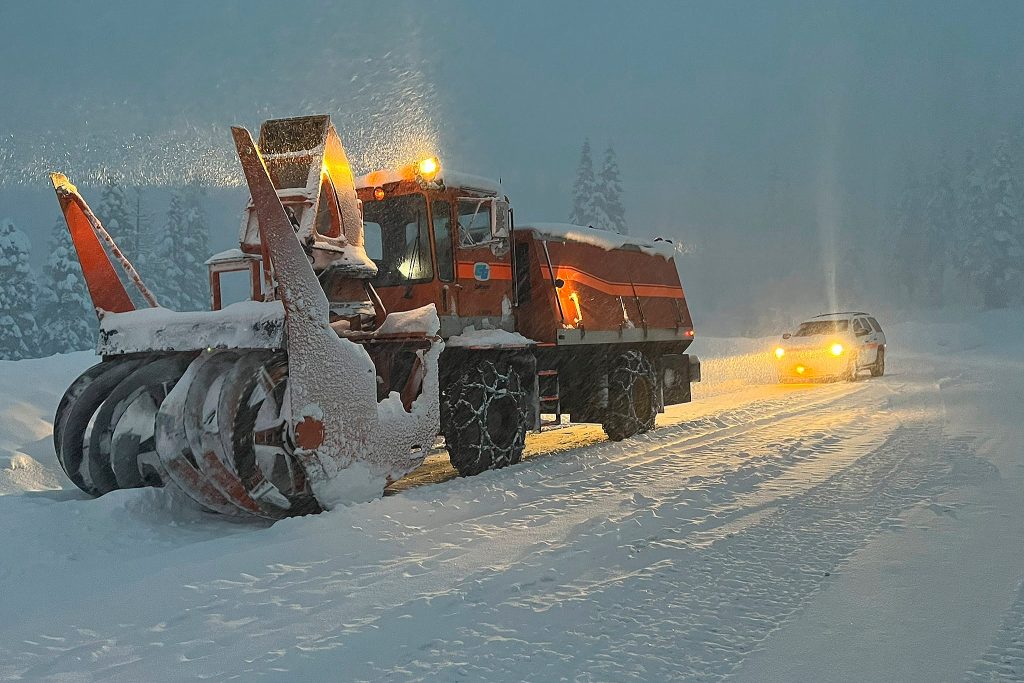
Sierra highway was back open but chain controls remained in effect as crews cleaned up in South Lake Tahoe, Calif., on New Year’s Day.
Caltrans/APA winter storm warning is in effect until 4 a.m. Friday for the Lake Tahoe area, and motorists are encouraged to stay at home and avoid travel. Snowfall could accumulate up to 20 inches above 7,000 feet and up to 10 inches at lower elevations. Wind gusts could be as high as 100 mph along Sierra ridges, with gusts up to 40 mph into the Tahoe Basin. The lake is also expected to be choppy and could see wave heights of 2 to 4 feet.
The heaviest snowfall is forecast to be between 3 a.m. and 9 a.m. Friday. Strong winds could cause trees to fall across roadways, so any motorists venturing out should be sure to pack emergency supplies.
“Travel could be very difficult to impossible,” the National Weather Service’s Reno office wrote in a forecast for the area. “The hazardous conditions could impact the morning or evening commute. Strong winds could bring down tree branches.”

Northstar backside in Truckee at 10:16 a.m. on Jan 5, 2023.
screenshot via TahoetopiaThere’s also a flood advisory in Butte, Colusa, El Dorado, Glenn, Nevada, Placer, Sacramento, Solano, Sutter, Tehama, Yolo and Yuba counties through 2 p.m. Thursday.
The UC Berkeley Central Sierra Snow Lab wrote on Twitter that it expects up to 14 inches of snow by the time the storm moves out of the area Thursday.
24-hour ❄️: 8.7″ (22 cm)
48-hour ❄️: 9.8″ (25 cm)We have light to moderate #snow showers this morning and are expecting another 8-14″ by the time the storm moves out late tonight. We look forward to another storm this weekend and a couple next week as well!#CAwx #CAwater pic.twitter.com/SUsxKHTTFJ
— UC Berkeley Central Sierra Snow Lab (@UCB_CSSL) January 5, 2023
The organization said it also expects another storm this weekend and more in the following week.
The snowpack for the region is already far surpassing average totals for this time of year. Officials reported Tuesday the snowpack was at 154% of average.
Nearly 1,000 customers are without power in the Tahoe area, with 100 customers impacted by a Liberty Utilities outage and 851 impacted from NV Energy outages Thursday morning.
NV Energy told KSNV on Wednesday it had prepared for the storm and brought in additional resources to be able to respond as quickly as possible to outages. About 71,000 customers lost power during the New Year’s Eve storm.
“These extra crews, when added to our existing NV Energy teams, more than triple the strength of our outage response, and help ensure we have every resource available to minimize the number and duration of outages that could result from the upcoming winter storm,” Doug Cannon, NV Energy president and CEO, told the outlet Wednesday.
Full Bay Area Storm Coverage